
Context
Problem & Responsibility
Operational Problem
Planting decisions needed to account for long-term productivity patterns rather than a single season.
My Responsibility
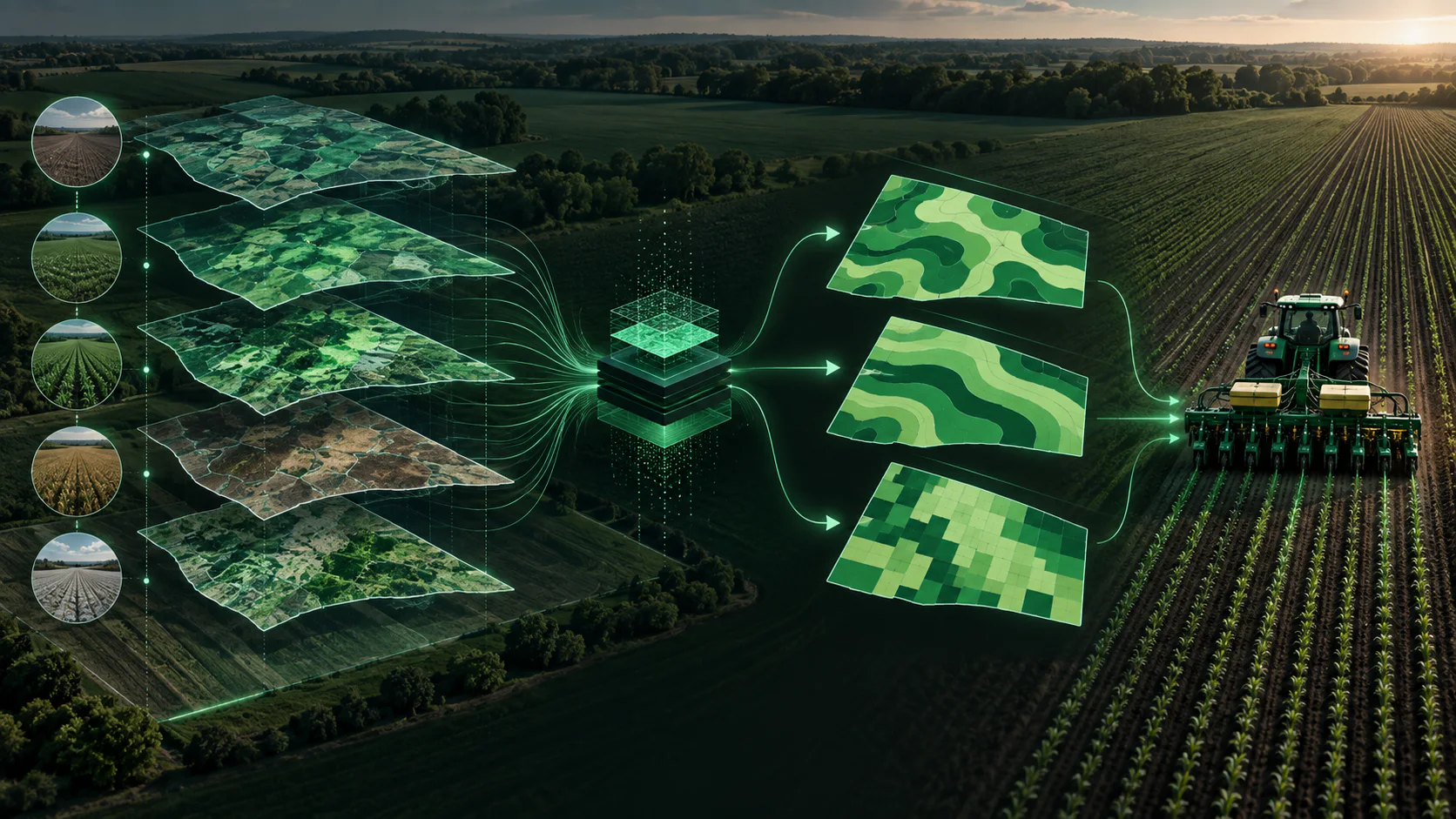
Combined yield history with vegetation-index analysis and generated three prescription alternatives for field operations.
System Design
Architecture & Workflow
- 01
Approximately five years of yield history
- 02
Sentinel-2 NDVI and EVI analysis
- 03
Three prescription alternatives
- 04
Shapefile output for agricultural equipment
- 05
Soil properties interpolated into raster surfaces with Gaussian-variogram kriging and compared with standardized yield history by zone
- 06
Zone-level potential drives differentiated seeding rates, higher in stronger zones and lower in weaker ones
- 07
Analyst review before release, with several prescription versions so the grower selects the one applied
Deep Dive
Inside the Build
Approach
Combined yield history with vegetation-index analysis and generated three prescription alternatives for field operations - estimating zone-level production potential from soil samples and multi-year yield history and assigning differentiated seeding rates, with an analyst review step before release.
- 01
Interpolated soil properties into raster surfaces using kriging with a Gaussian variogram, and rasterized/standardized historical yield for spatial comparison at management-zone level.
- 02
Produced multiple prescription versions so the grower selected the one ultimately applied.
- 03
Constrained final operational rates by agronomic and account-management review before release.
- 04
Automated repeated GIS operations that otherwise had to be performed field by field.
Evidence
Scale & Measurable Impact
- Approximately one million acres analyzed across prescription versions, with roughly half a million acres ultimately applied