
Context
Problem & Responsibility
Operational Problem
Retrieving and preparing the relevant soil properties for each field required hours of manual work.
My Responsibility
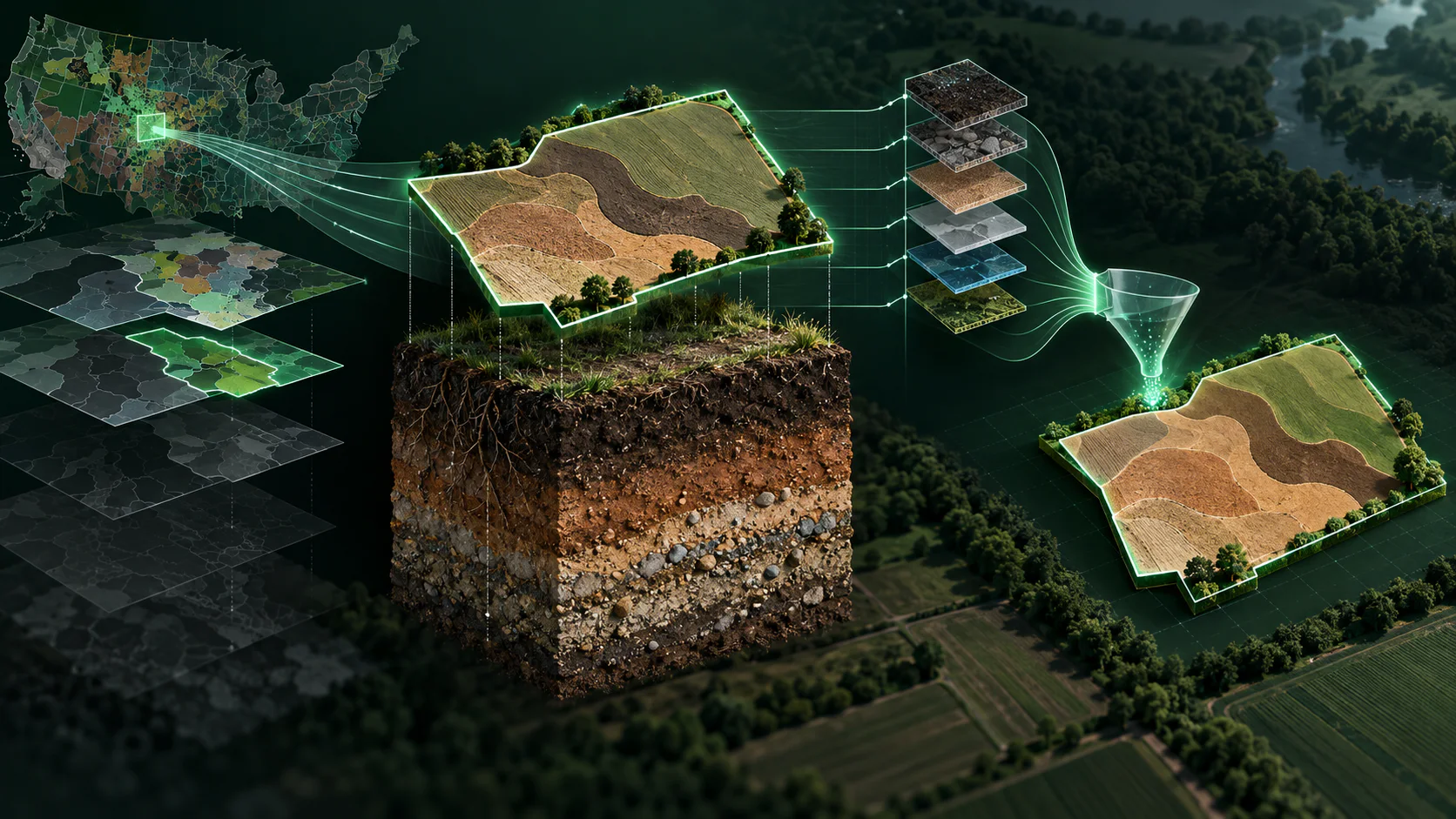
Automated field-boundary-driven retrieval, extraction, spatial processing and normalization of SSURGO data.
System Design
Architecture & Workflow
- 01
Field-boundary input
- 02
Relevant-property extraction
- 03
Spatial processing and normalization
- 04
Integration with agricultural analysis workflows
- 05
Properties such as texture, taxonomy and bulk density retrieved for the field area only, without downloading the national dataset
Deep Dive
Inside the Build
Approach
Automated field-boundary-driven retrieval, extraction, spatial processing and normalization of SSURGO data. Integrated SSURGO API capabilities so a newly drawn field boundary requests only the soil information relevant to that field, processes the returned properties, and makes them available for BigQuery analytics without downloading the entire national dataset.
- 01
Scoped requests to the field boundary to avoid processing unnecessary geography.
- 02
Pulled texture, taxonomy and bulk density attributes for the field area.
- 03
Reduced a roughly 1-3 hour manual workflow to API retrieval that completes in seconds.
Evidence
Scale & Measurable Impact
- Reduced a manual process requiring roughly 1–3 hours to seconds