
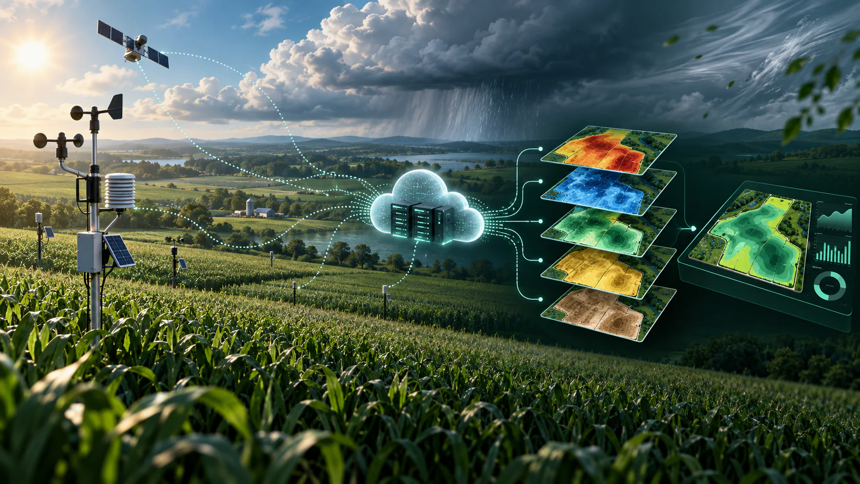
Context
Problem & Responsibility
Operational Problem
Daily weather signals needed to be consistently collected, calculated and prepared for field-level analysis.
My Responsibility
Built automated ingestion, storage and analytical preparation for daily agricultural weather indicators.
System Design
Architecture & Workflow
- 01
Daily DTN weather API ingestion
- 02
Scheduled Cloud Run execution
- 03
BigQuery storage and analytics
- 04
Temperature, precipitation, wind, ET, solar radiation and growing degree calculations
- 05
Historical lookback alongside the scheduled daily pull, with crop-specific growing-degree-unit logic tied to field and crop context
Deep Dive
Inside the Build
Approach
Built automated ingestion, storage and analytical preparation for daily agricultural weather indicators. Integrated weather API endpoints for historical, daily and hourly data, primarily pulling daily data on a scheduled basis and connecting it to field/crop context for growing-degree-unit accumulation and harvest-timing analysis.
- 01
Designed regular scheduled pulls alongside historical lookback capability.
- 02
Applied crop-specific growing-degree-unit logic as one application of the weather data.
- 03
Connected environmental conditions with crop development and field operations for repeatable, weather-aware analytics.
Evidence
Scale & Measurable Impact
- Supported approximately 70–75 farmers
- Covered approximately 500,000 acres
- Produced dependable dashboard-ready datasets